Luxury and discovery across the whole of Benin, from the Atlantic to the savannah.
One small country. Twelve kingdoms, two national parks, a coast with nobody on it.
Benin runs 700 kilometres from the Atlantic to the Niger river, and almost nobody has seen all of it. The stilt town of Ganvié, the royal palaces of Abomey, the sacred hills of Dassa, the fortified Tata Somba houses of the Atakora, the lions of Pendjari, the Gèlèdé masks of Kétou. We take you to all of it, slowly, in comfort, with people who belong there.
Small groups, never more than eight. A driver with you throughout and our Cotonou team a message away. Every journey is built around one story and told properly.
About Escale Voyages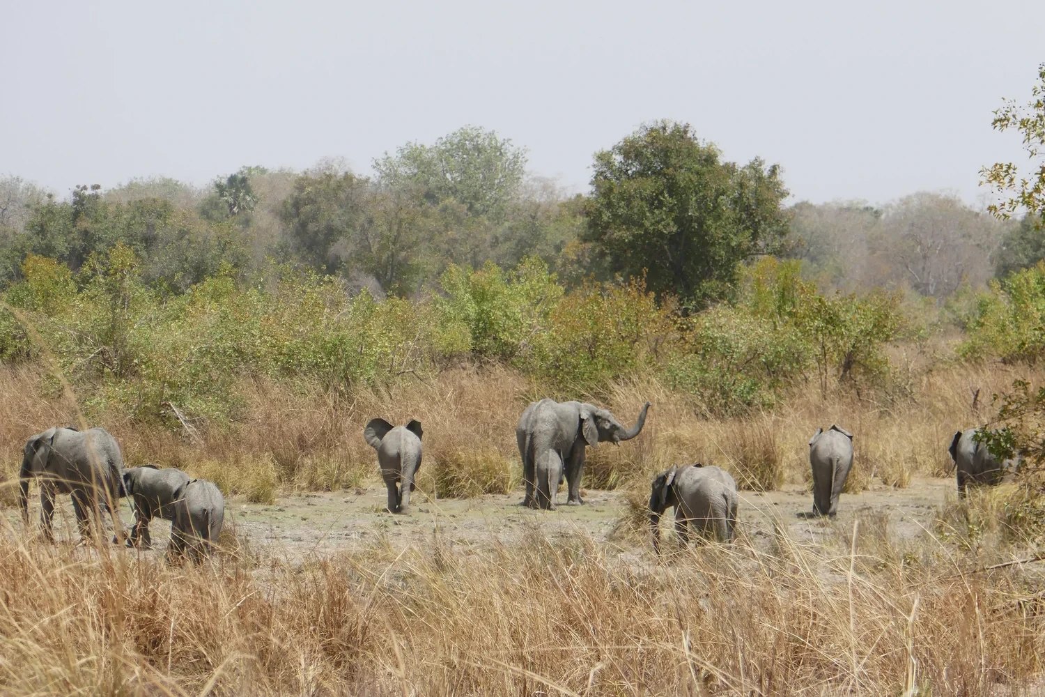
October to March. Dry roads, clear skies, harmattan light.
Journeys run through the dry season, when the lagoons are calm, the north is passable and the animals of Pendjari and the W gather at the waterholes. January brings Vodun Days to Ouidah. We travel year round on the coast and in the south.
Choose your way in
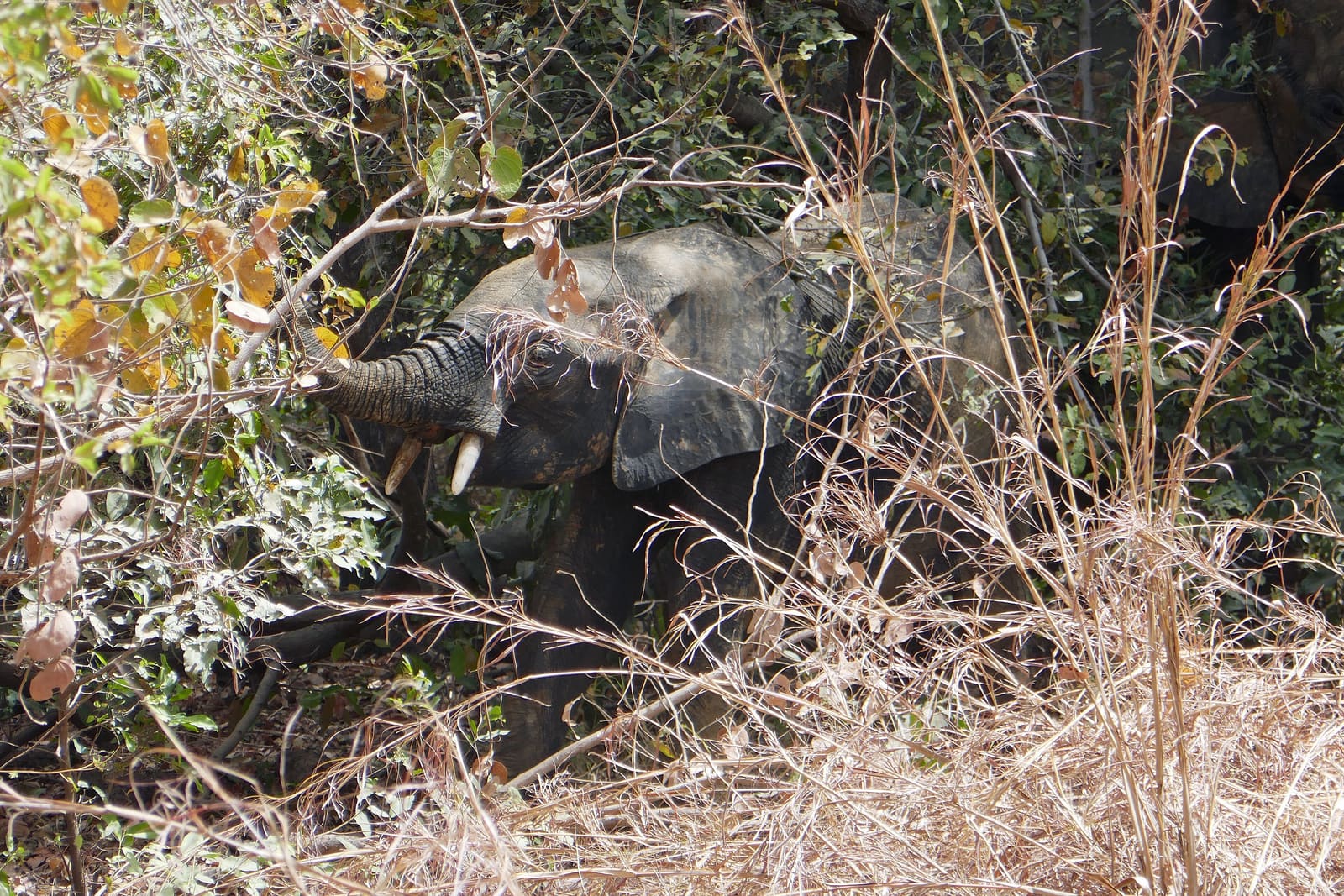
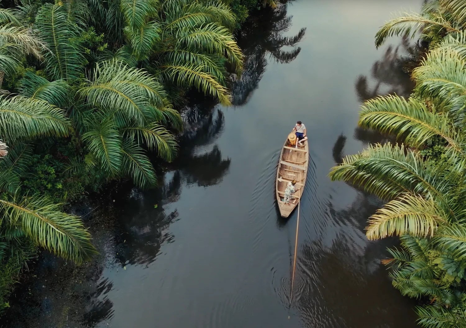
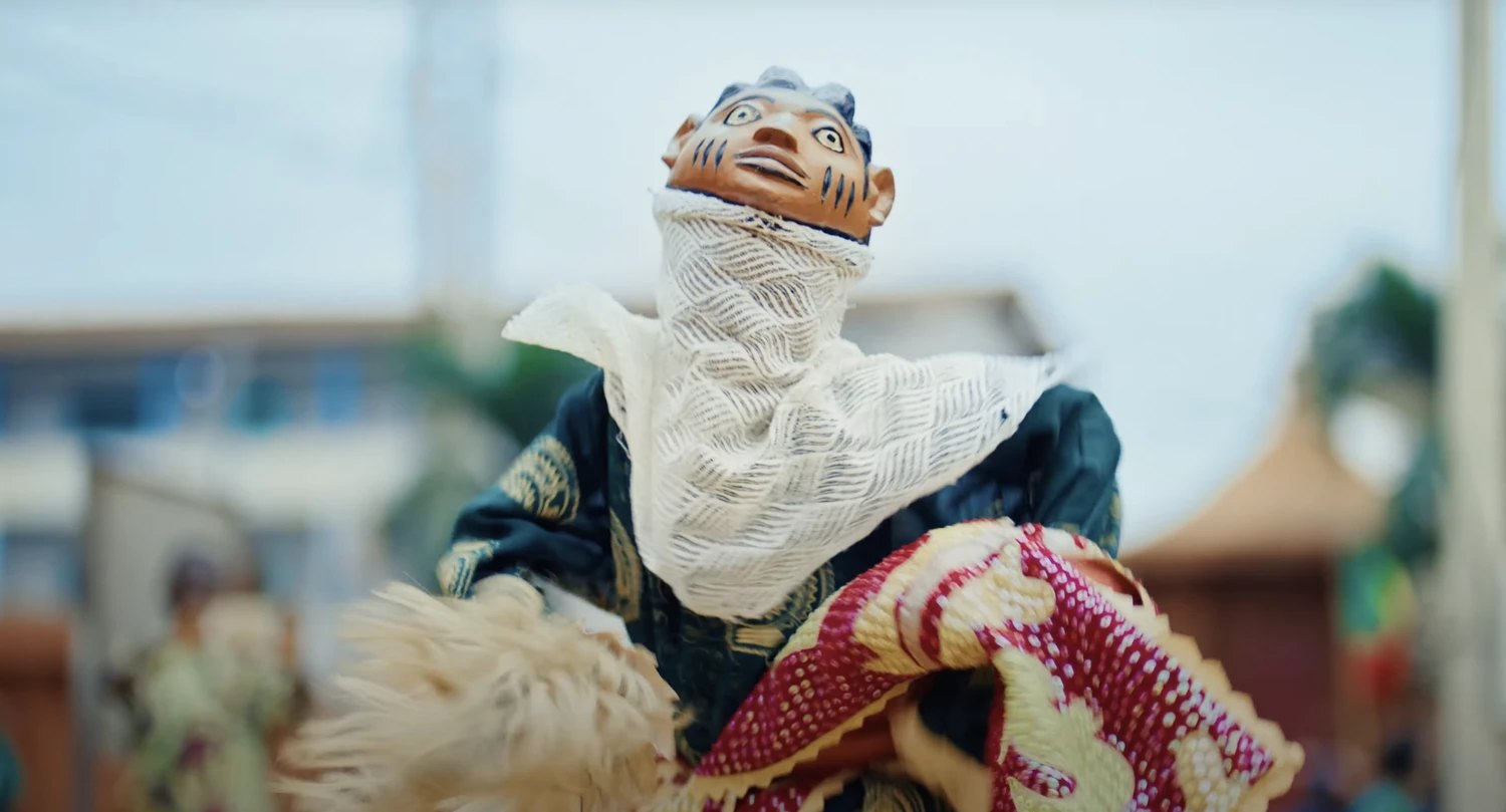
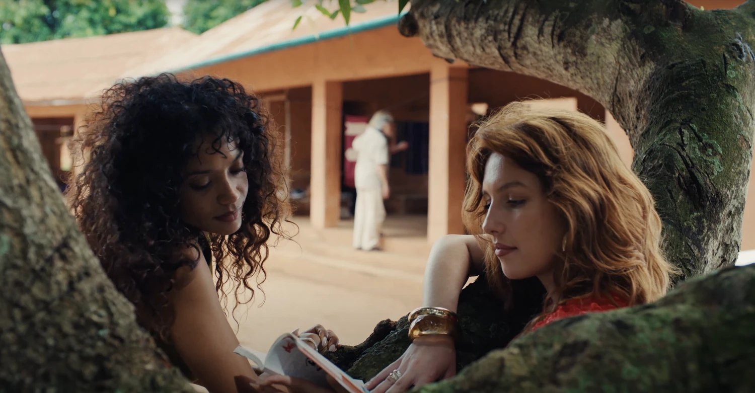
Everyone who comes to Benin sees Ouidah and Ganvié. Almost nobody sees Kétou, or the Collines, or the north. We started Escale Voyages so that people would see the whole country, and see it well.
From the coast to the savannah
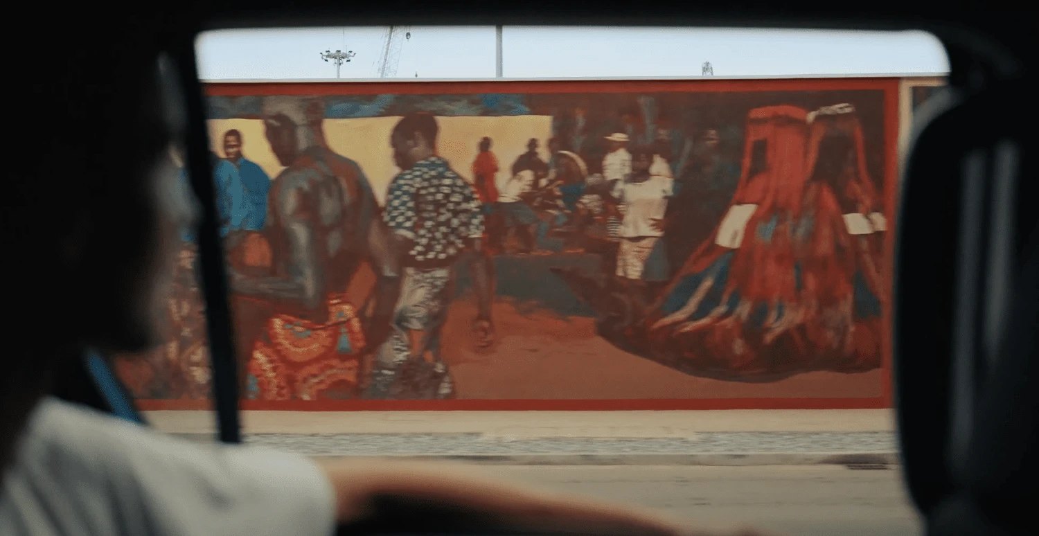
Cotonou
The big city on the lagoon: Dantokpa market, the Fondation Zinsou, the art scene and the best kitchens in the country.
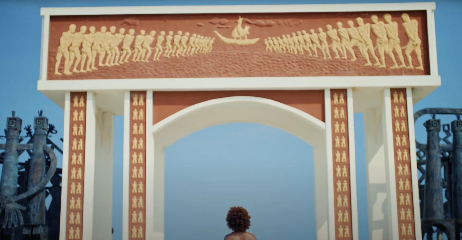
Ouidah
The Route des Esclaves, the Python Temple and the Door of No Return. Where Vodun and the Atlantic meet.
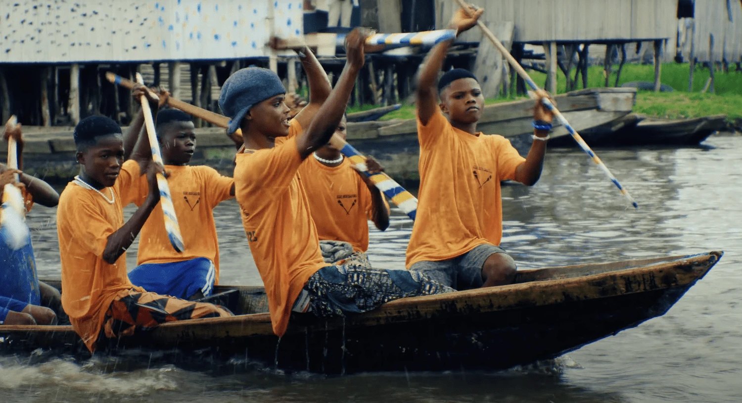
Ganvié
A town of 30,000 on stilts in Lake Nokoué, founded by people who fled the slave raids and never left.
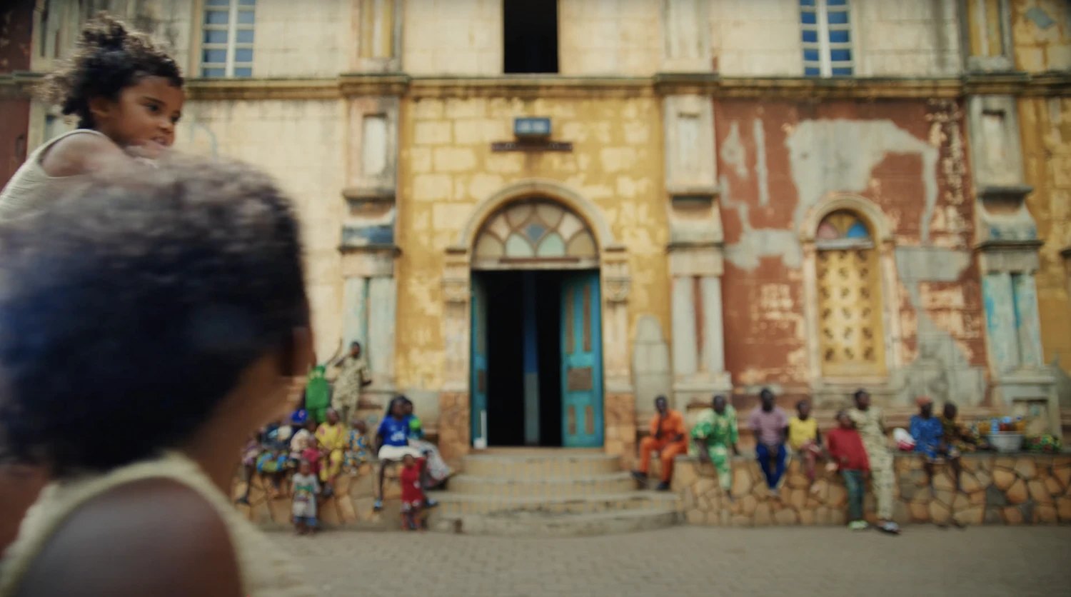
Porto-Novo
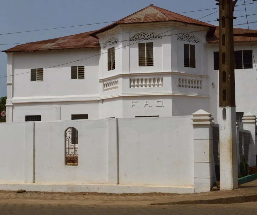
The quiet capital: Afro-Brazilian mansions, the Great Mosque, the Honmè royal palace.
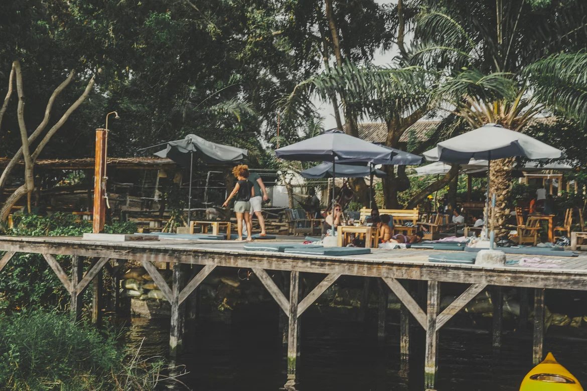
Grand-Popo
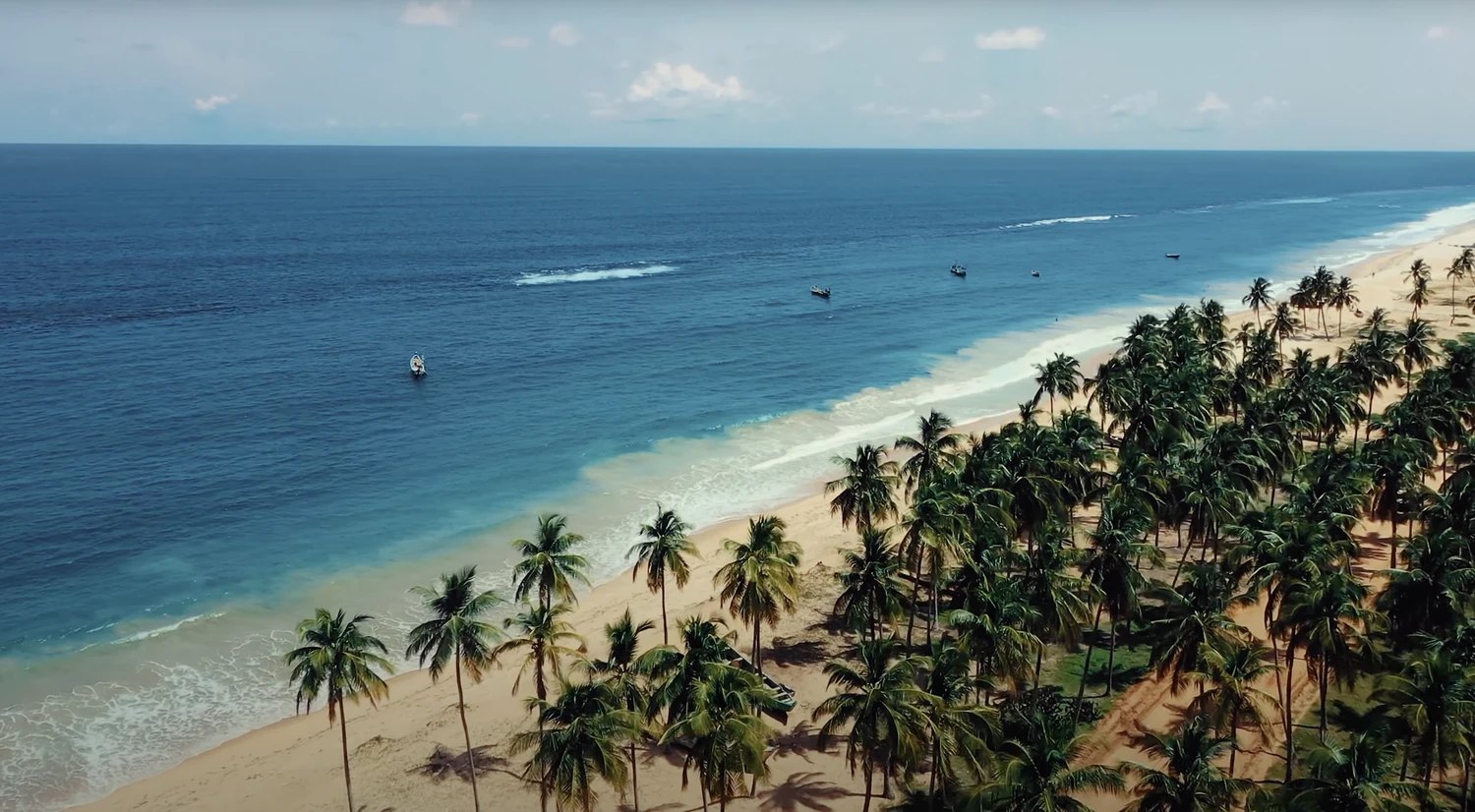
Coconut palms, the Mono river mouth and a beach with nobody on it.
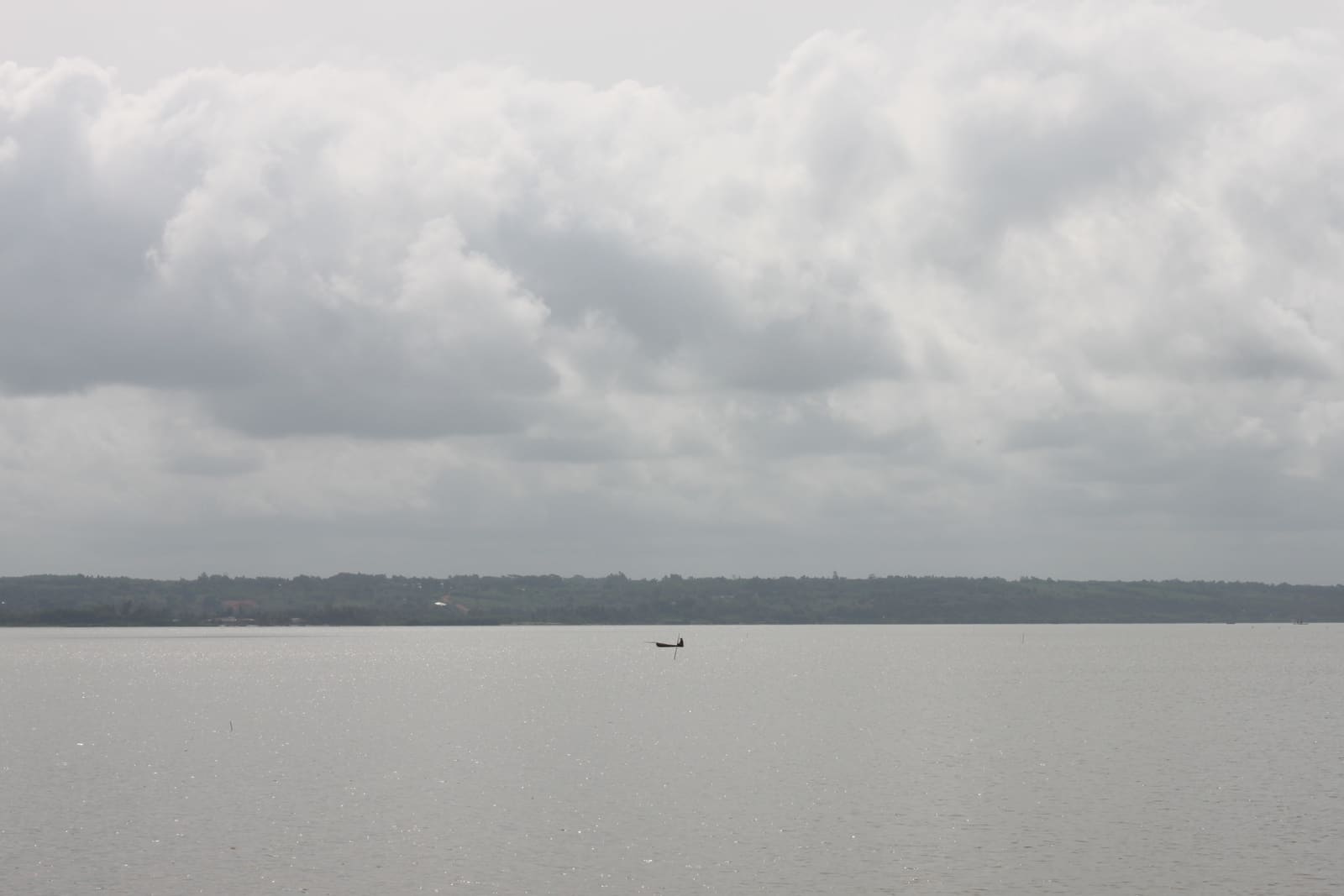
Possotomè & Lake Ahémé
Hot springs, fishing villages and a lake the Pedah people read like a book.
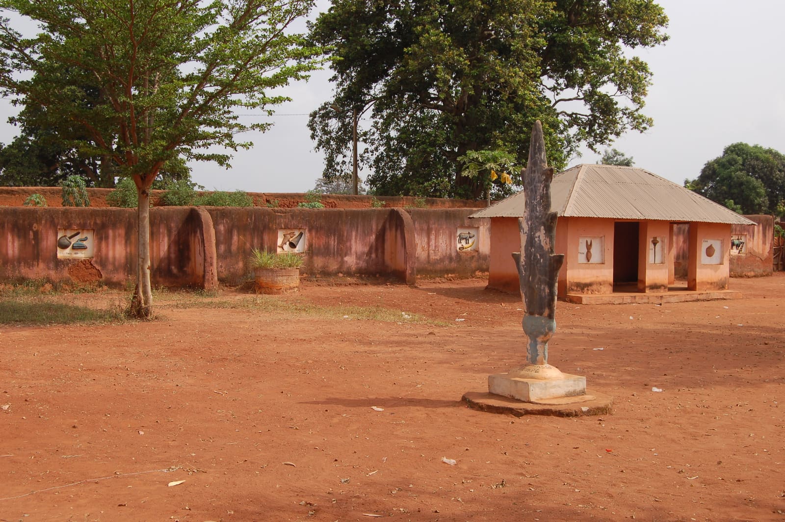
Abomey
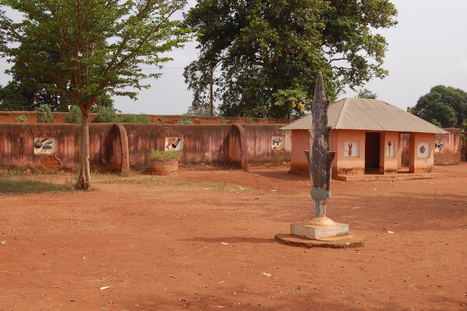
The royal palaces of twelve kings, their bas-reliefs, and the court that ruled Dahomey for 300 years.
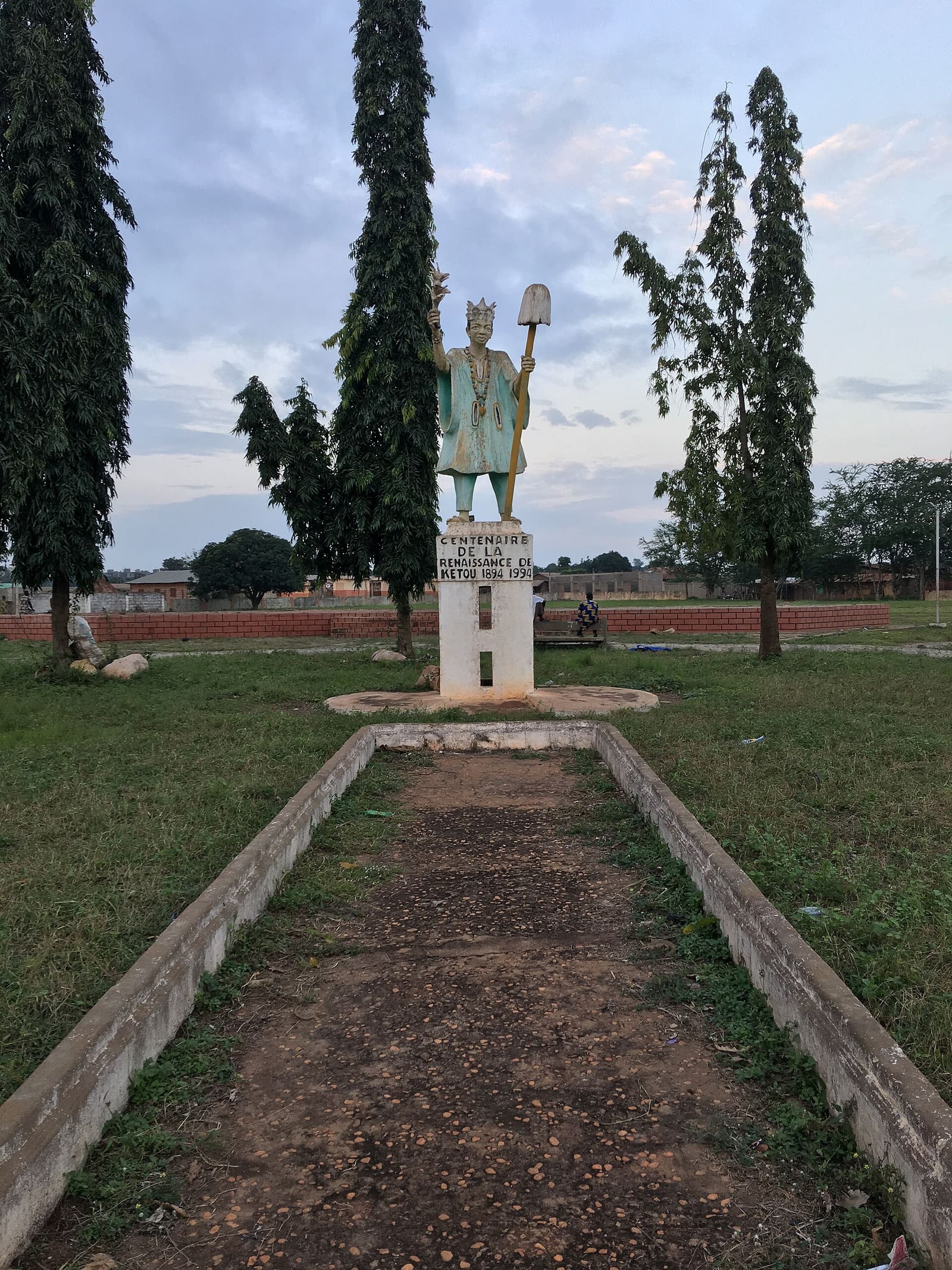
Kétou
The Yoruba kingdom on the Nigerian border, home of the Gèlèdé masquerades on UNESCO's list.
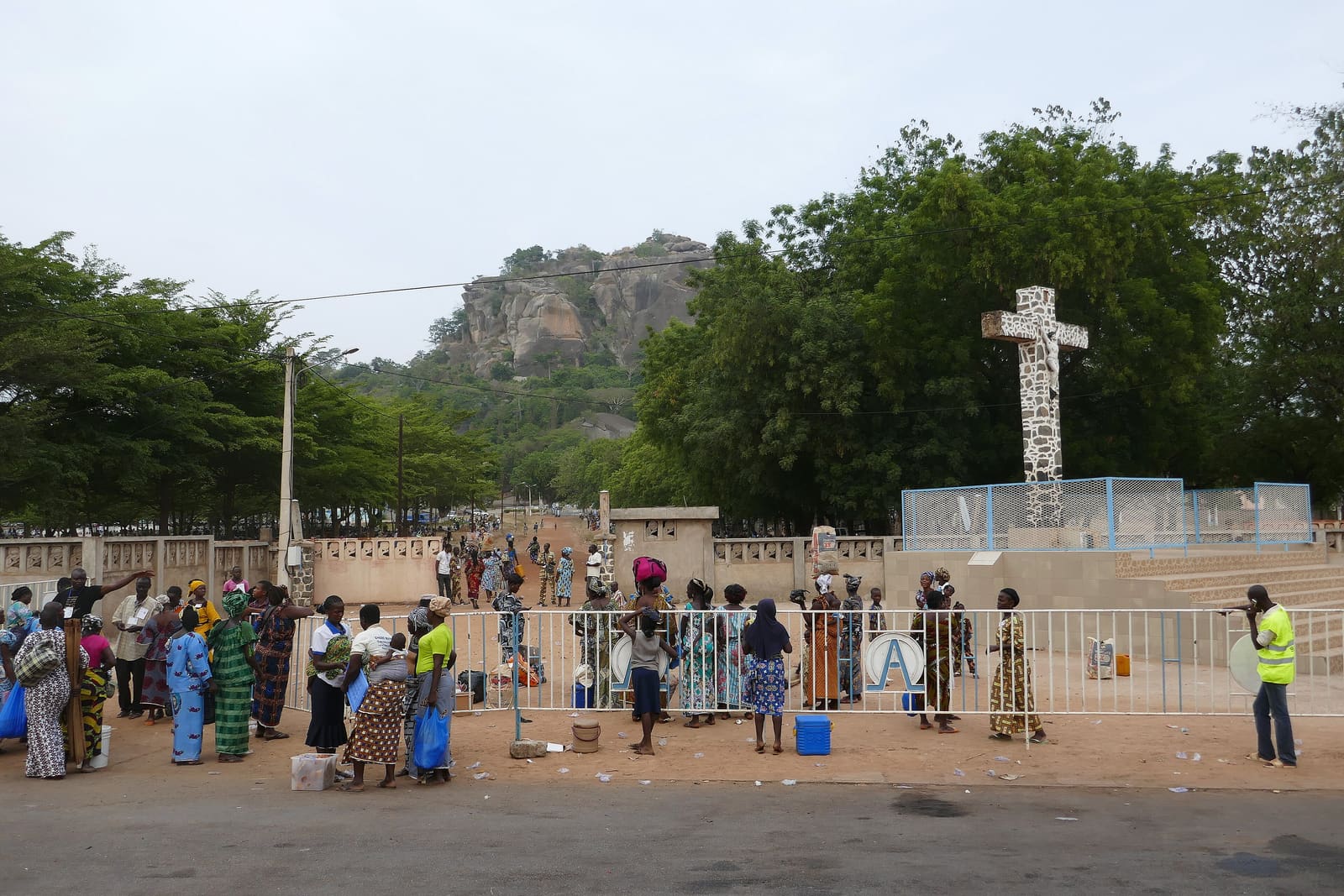
Dassa-Zoumé & the Collines
Forty-one sacred hills, the grotto of the Virgin, and the centre of the country where every road meets.
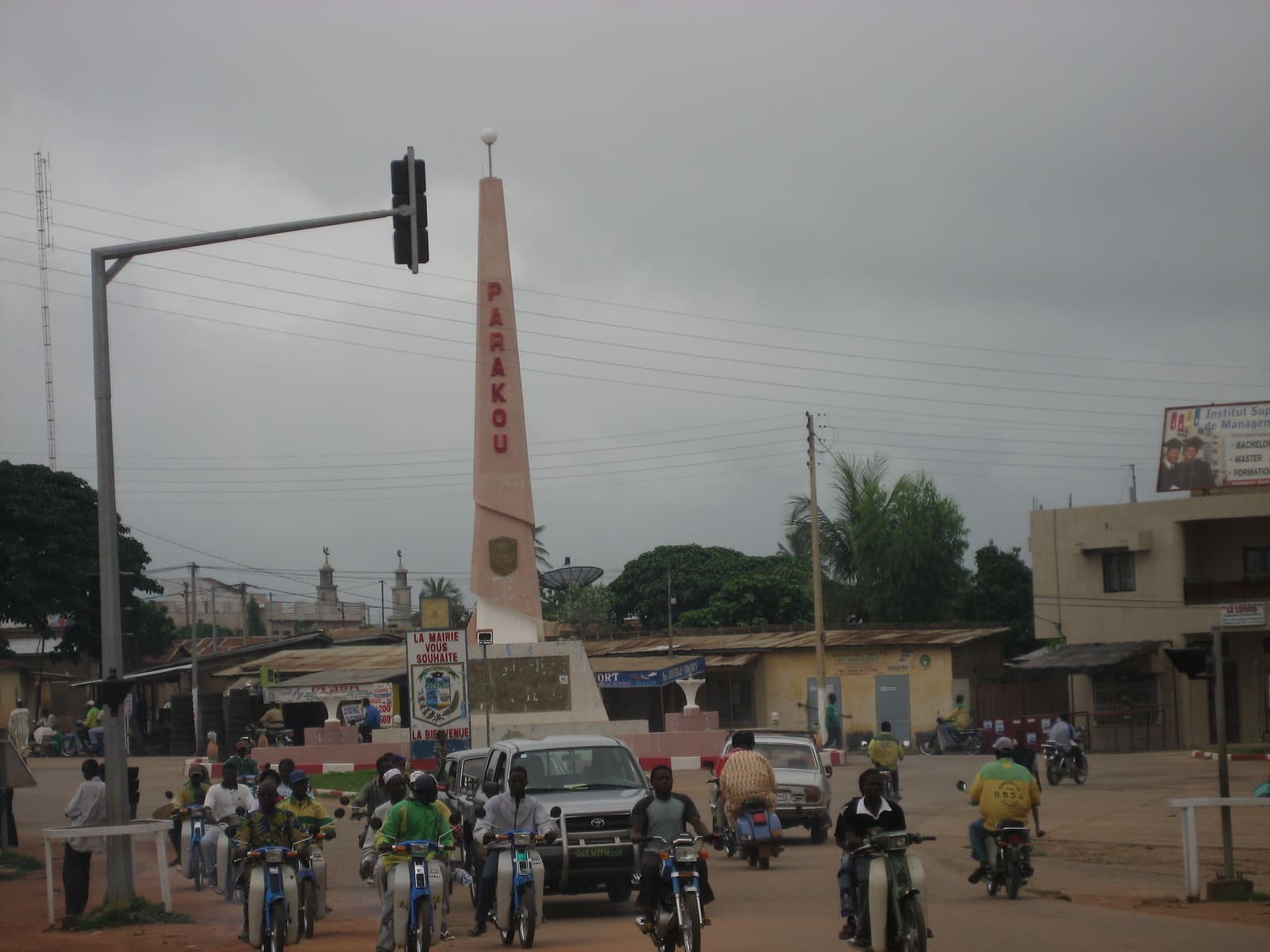
Parakou
The crossroads of the north: Bariba horsemen, the big market, and the Gaani festival.
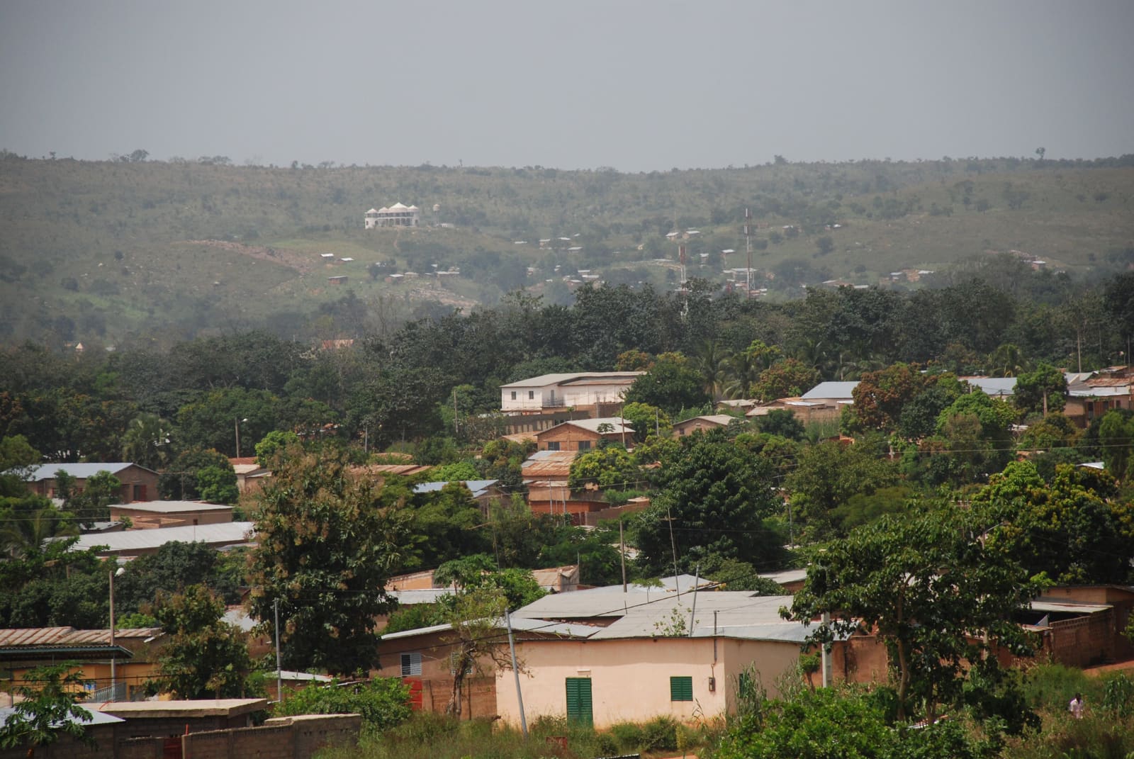
Natitingou
The base for the Atakora: the regional museum, the Kota falls and the road to the parks.
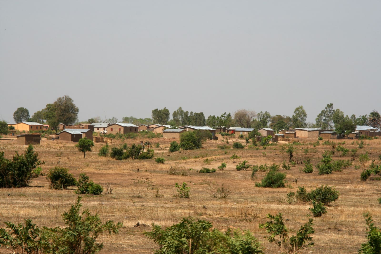
Koutammakou & the Tata Somba
The fortified mud houses of the Batammariba, built like castles, still lived in. A World Heritage landscape.
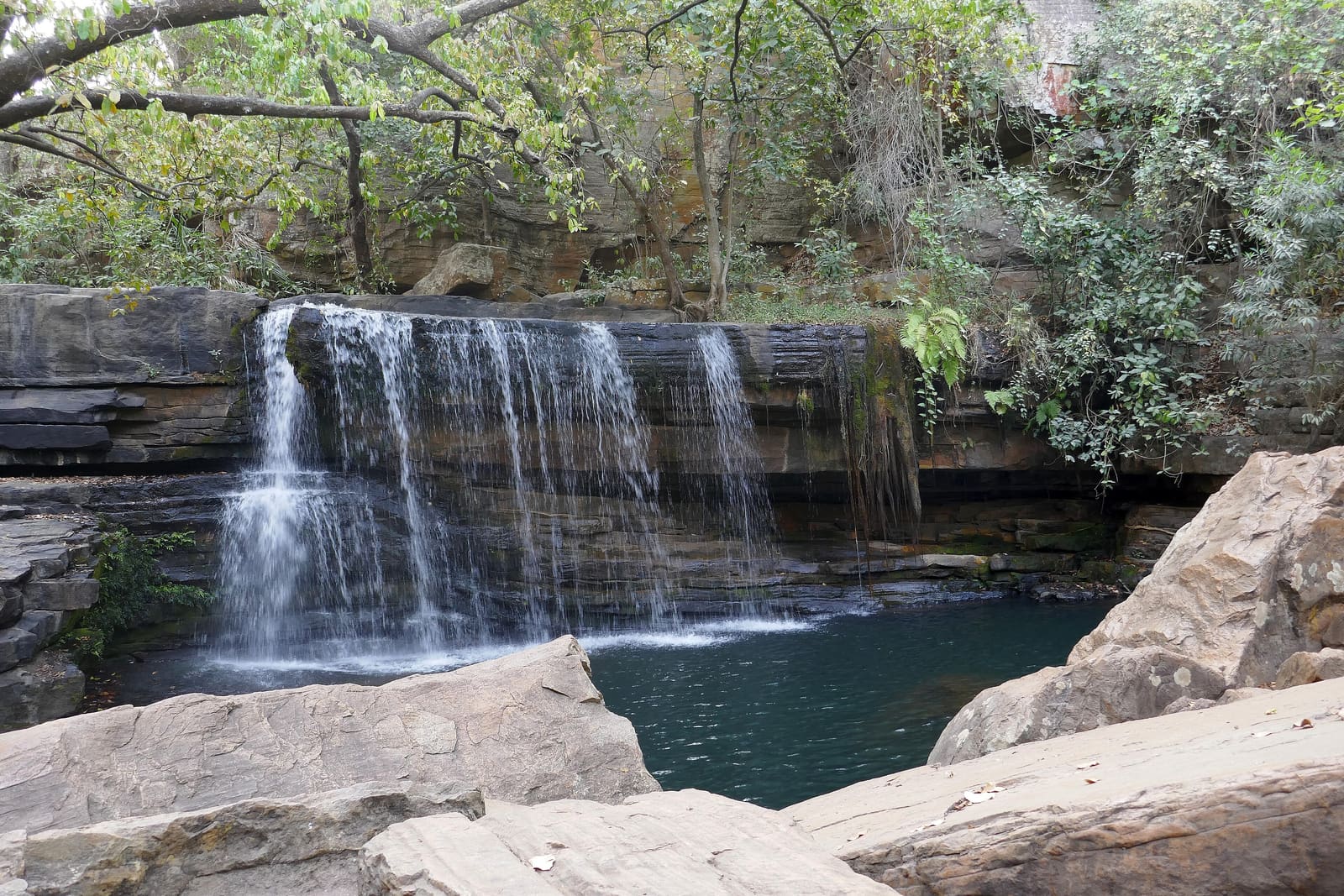
Tanougou falls
A waterfall and a natural pool at the foot of the Atakora, on the road into Pendjari.
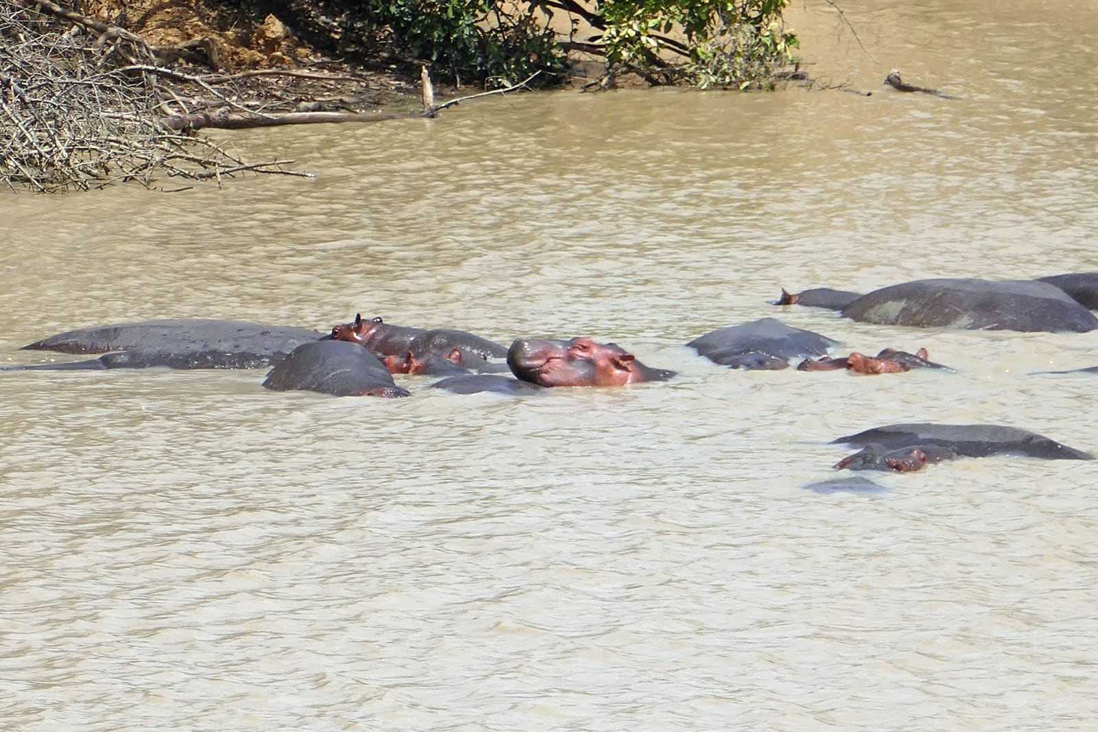
Pendjari National Park
Lions, elephants, hippos and cheetahs in the W-Arly-Pendjari complex, the largest wild savannah left in West Africa.
W National Park
The Niger river's great bend, shared with Niger and Burkina Faso. Wilder and emptier than Pendjari.
Coordinates to the nearest minute, cross-checked against OpenStreetMap before launch.
Slowly, slowly, the chameleon reaches the top of the tree.
COO – NAE
The length of the country
The road north leaves the lagoon, climbs through the Collines and the Dahomey Gap, crosses the Bariba plains and ends at the Atakora range. We break it in Abomey, Dassa and Natitingou. There is no hurry; the road is the journey.
- Road distance
- ≈ 600 kmto verify
- Travel time
- ≈ 10 hover two days
- Dry season, Dec – Feb
- 25–35 °CPendjari
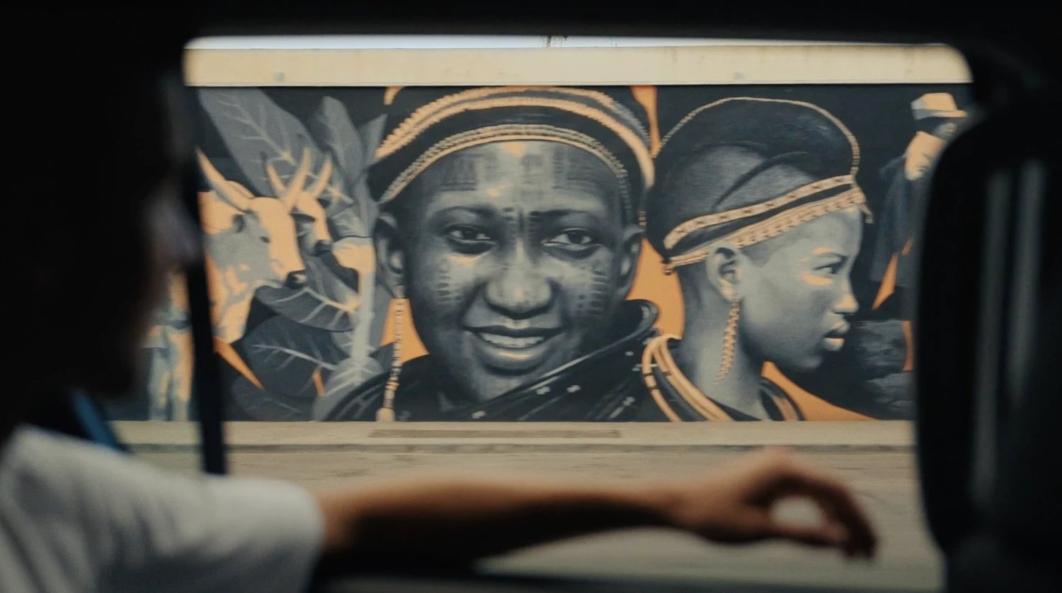
For those whose story passed through this gate.
Ancestry-led itineraries from Ouidah's Route des Esclaves to the villages the records point to. Help with documents, DNA results, and the quiet logistics of coming back. Our signature journey, built with diaspora travellers.
Explore ReturnStart planning your journey
Tell us when you can travel and what you are looking for. A real person replies by email within one working day.